

The 11 intrepid explorers assembled at 8:30 am next to the Nautical South Restaurant at Brenton on Sea.
 Hanna Edge, Avril Fichardt, Gillian Forbes, Janet Moore and Cheryl Devine with Ed Kay-Shuttleworth behind them, Werner Frei, Wolf Schneider and Greg Devine and Dave Edge in deep conversation.
Eugene Fichardt took the photograph (and all the others)
We descended into Jaapsebaai, but were a bit early to walk around the point as the tide was still a bit too
high, so had to do a bit of rock scrambling to get onto the footpath, which leads to the next bay, Millionaire’s Beach.
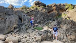
A bit of scrambling

Along the footpath

Beautiful views
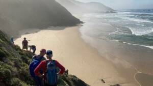
Down into Millionaire’s Beach
The tide was out and there was a lot of sand in the bays which meant that we could walk around the next headland to the next bay, to get to Die Blokke beach. We stopped at one of the sea caves on Die Blokke beach to have a look at the famous fossilised footprints in the roof of the cave. Because there was so much sand it meant that one had to basically crawl in to see the footprints. Not everyone wanted to do it, but Eugene was brave enough and took the picture.
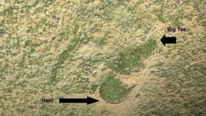
The footprints – read more on https://www.knysnamuseums.co.za/pages/hominin-fossil-tracks-garden-route/

Along Die Blokke beach
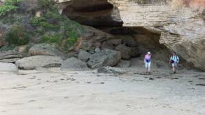
More caves
We then had to climb out of the bay to be able to cross the headland into the next bay, where a little more scrambling was required.
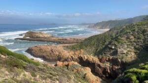
View back to Die Blokke

Scrambling down into the next bay
It was exactly low tide by the time we reached the next bay and could again walk around the rocks into the last bay where we had to turn around as all the routes out of the bay had been destroyed in the 2017 fires.

The second last bay
Our route out of the bays we went up a very steep sandy gully to meet up with our route on the way into the bay. From there it was an easy walk along the well known Fishermans Walk on top of the cliffs back to our starting point at Brenton on Sea.
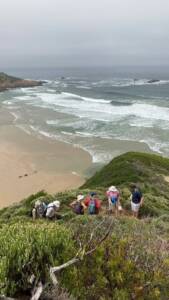 Up the steep gully
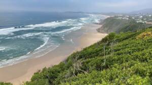
View from Fisherman’s Walk
Although most of us have done this walk before, we all agreed that it is always different and worthwhile, and a most enjoyable outing was had by all!
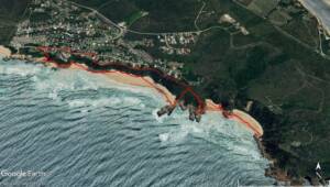
The route
Total distance: 5.5 km
Elevation gain: 323 m
Elevation loss: 323 m
Total time: About 4 hours (not very fast!)
Thanks to everyone who came and especially for Eugene for the photographs!
Meet Leader ~ Hannah Edge